×


A practical seminar for students majoring in "Archaeology and Ethnology" is being held at the Faculty of History at the E.A. Buketov Karaganda National Research University from March 16 to 19, 2026.
The seminar's topic is "GIS for Archaeology: Methods and Applications." The program includes theoretical and practical sessions:
Day 1: GIS Fundamentals and Field Data Collection.
Day 2: GIS Analysis of Ancient Landscapes.
Day 3: Spatial Analysis of Archaeological Data.
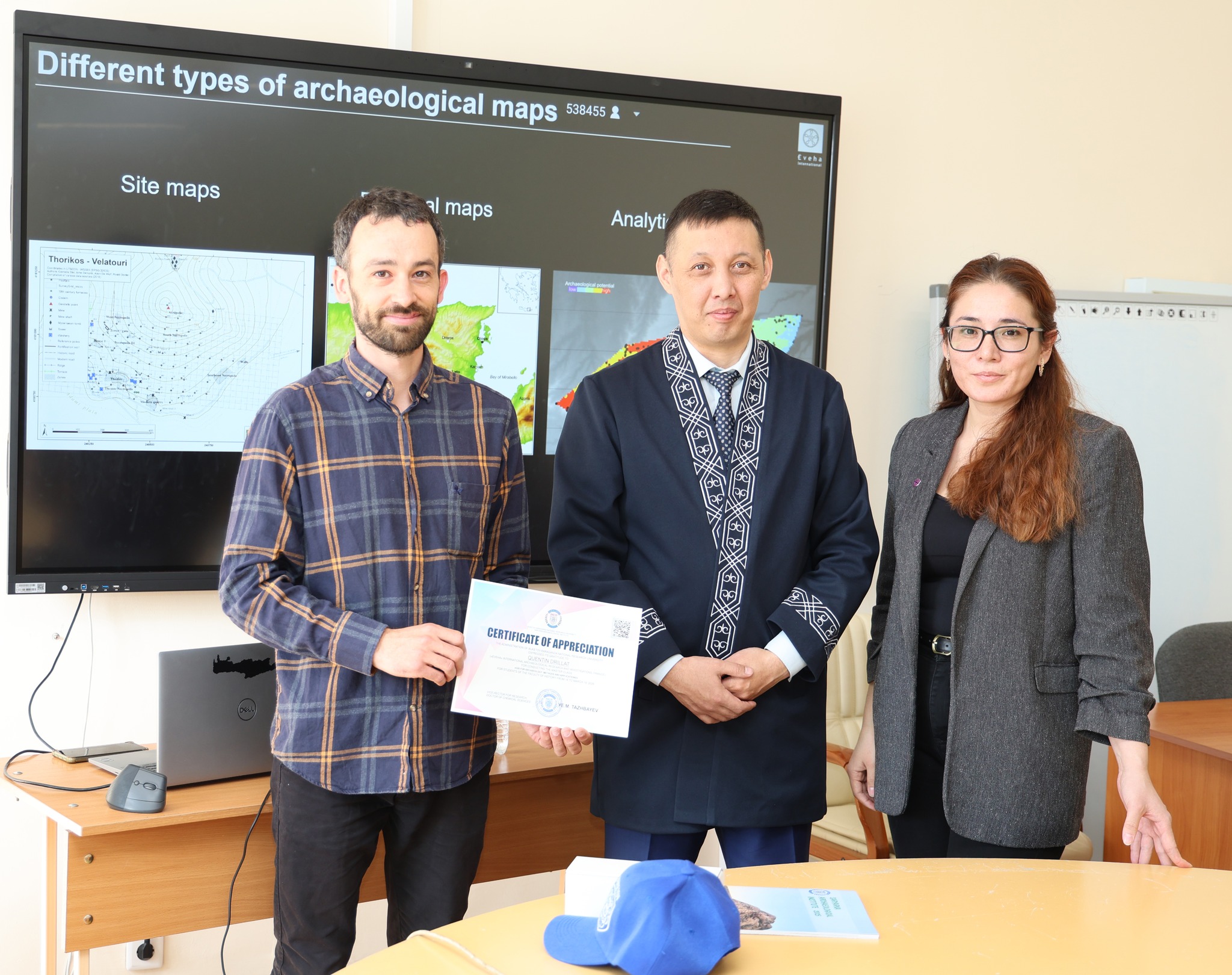
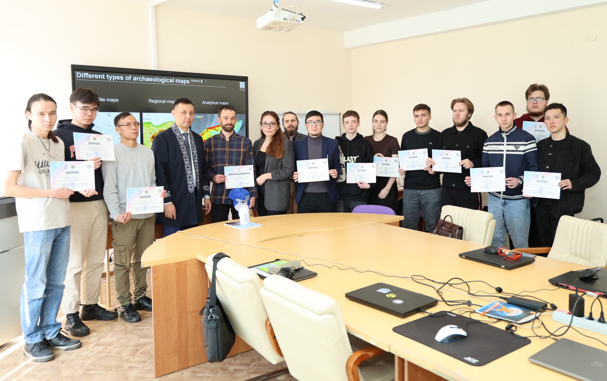
Day 4: Cartography and Data Management.
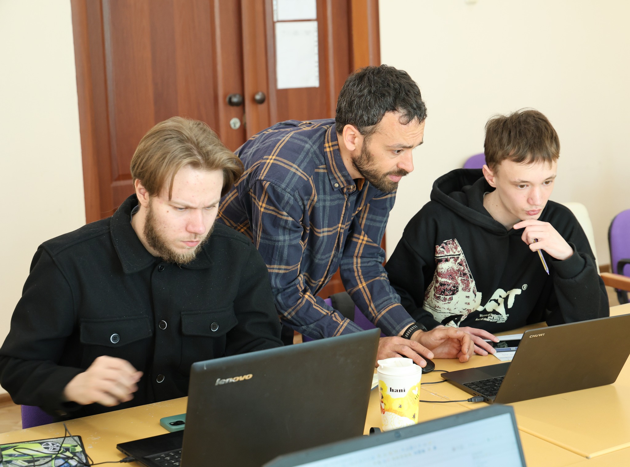
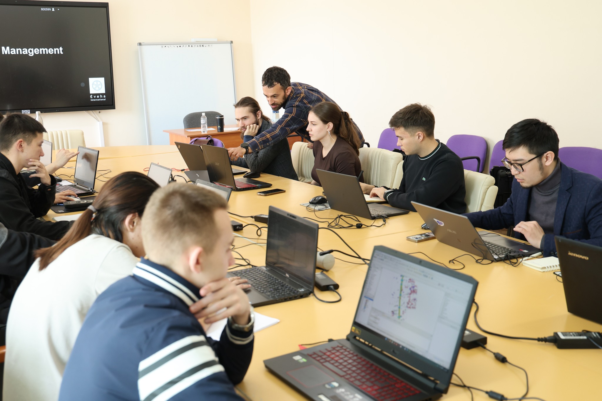
This research seminar aims to develop students' theoretical knowledge and practical skills in using geographic information systems in archaeological research.
The seminar covered the basics of GIS and its potential for analyzing and interpreting spatial data, including working with maps, GPS coordinates, and satellite imagery.
Particular attention was paid to methods of spatial analysis of archaeological sites, the use of GIS in planning surveys and excavations, and visualization of the obtained data. Participants are introduced to the basic principles of using specialized programs such as QGIS and ArcGIS and master approaches to monitoring and preserving cultural heritage sites.
As a result of the seminar, students will acquire skills in using